Hi. I’ve found some routing issue near the phnonpenh airport (In Cambodia).
First image is result of OpenStreet map and Graphhopper map (https://graphhopper.com/maps/)
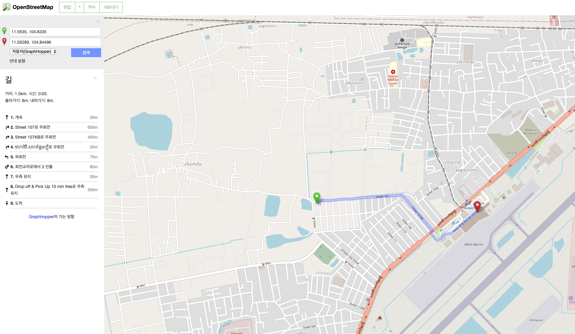
This result looks good.
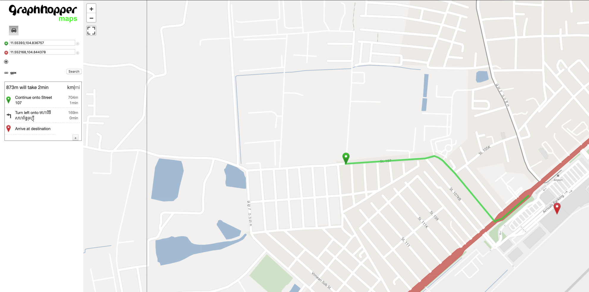
Second image is my local result.
Screen Shot 2020-05-14 at 2.28.26 PM|690x341
Route should be linked to airport gate, but it doesn’t go through airport road.
I’ve tested using routing data (osm.pbf) files from OSM’s latest data and bbike mirror.
And I’ve tested opensource graphhopper engine version 0.12, 0.13 and 1.0-pre.
Config file used each version’s config-example file.
All version show same results like above.
I can’t find out the reason.