Hi,
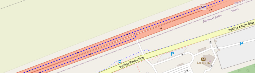
I need to design truck tracks using a Graphhopper. But something similar happens with the vehicles: “roads” parameter:
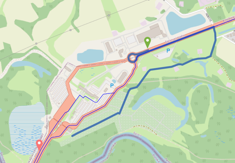
And in cities happends something strange:
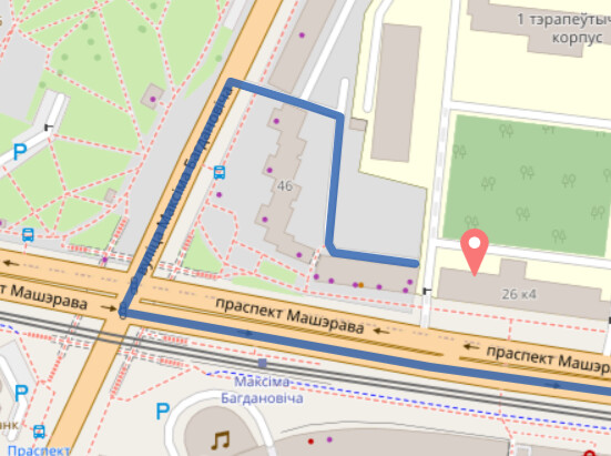
With the parameters vehicles “car” the following happens:
–
Way: М1 (252591076) | OpenStreetMap
In the Country in which the action takes place, traffic is driven on the right. Can you help me configure that?(
Gregws
2
Ive found something similar when dealing with motorways.
From memory i used snap prevention with highways.
I dont have access to my code right now but i found it to give more reliable path generation
system
Closed
3
This topic was automatically closed 90 days after the last reply. New replies are no longer allowed.