Hello,
I am having trouble creating a route through a toll booth when trying to create a truck route. When I create the route for cars the system returns correctly. I checked the vehicle restrictions for the road and they don’t exist.
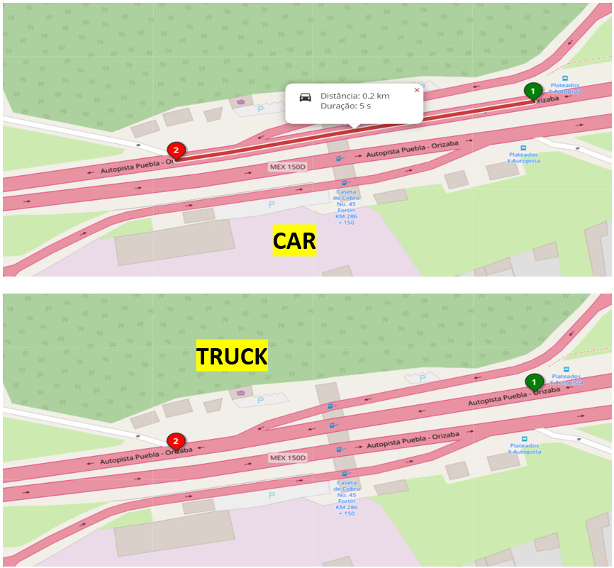
From: 18.90751,-96.998713
To: 18.907087,-97.00024
Does anyone know how I can fix this issue?
1 Like
1 Like
There is the tag hgv=no → Way: Autopista Puebla - Orizaba (745379645) | OpenStreetMap
(but hgv=yes for the opposite direction: Way: Autopista Puebla - Orizaba (502788792) | OpenStreetMap )
2 Likes
and goods=no as well
2 Likes
According the rules for HGV(see image below) this tag sounds like wrong or not?
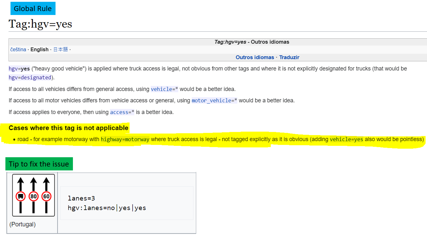
And while I was searching the rules I could verified the example above that sounds like a good action to do here. What do you think?
You can only tell if it is correct if you have ground truth information. E.g. if there is a sign on the road that this is forbidden the tag is fine.
1 Like
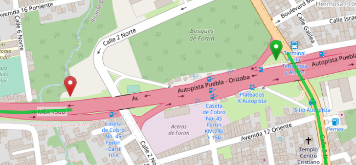
It looks like there is some kind of toll station or something:
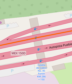
In fact you can see it from the West side on Mapillary. Maybe this is not passable for hgv trucks? But it looks like it would be the same for both directions, maybe it’s best to contact the author of the OSM tags directly.
1 Like