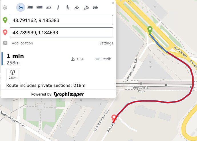
Hi all,
tried several point-to point ways in this area (from the south), Graphhopper (as well as Valhalla, in ID) routes via this restricted road instead of taking the shortest way (next to the destination, in a pedestrian area) Way: Baustraße Stuttgart 21 (779116254) | OpenStreetMap.
It works from 48.786085, 9.180847 to 48.788411, 9.183422, but not to 9.18354 (some meters beside, in the same road). IMHO it shouldn’t use the access=private way in any case, especially not with a long way around (1.7km instead of 295m).
Until recently, the destination pedestrian area was mapped with vehicle=destination;delivery, in case this helps for the analysis Way History: Osloer Straße (10071182) | OpenStreetMap (should work, in case the semicolon separator is supported ?). Even in case it’s not I’d expect it to take the shortest way next to the destination. OSRM works as expected (in ID, “car” setting).
Cheers, Smithe
