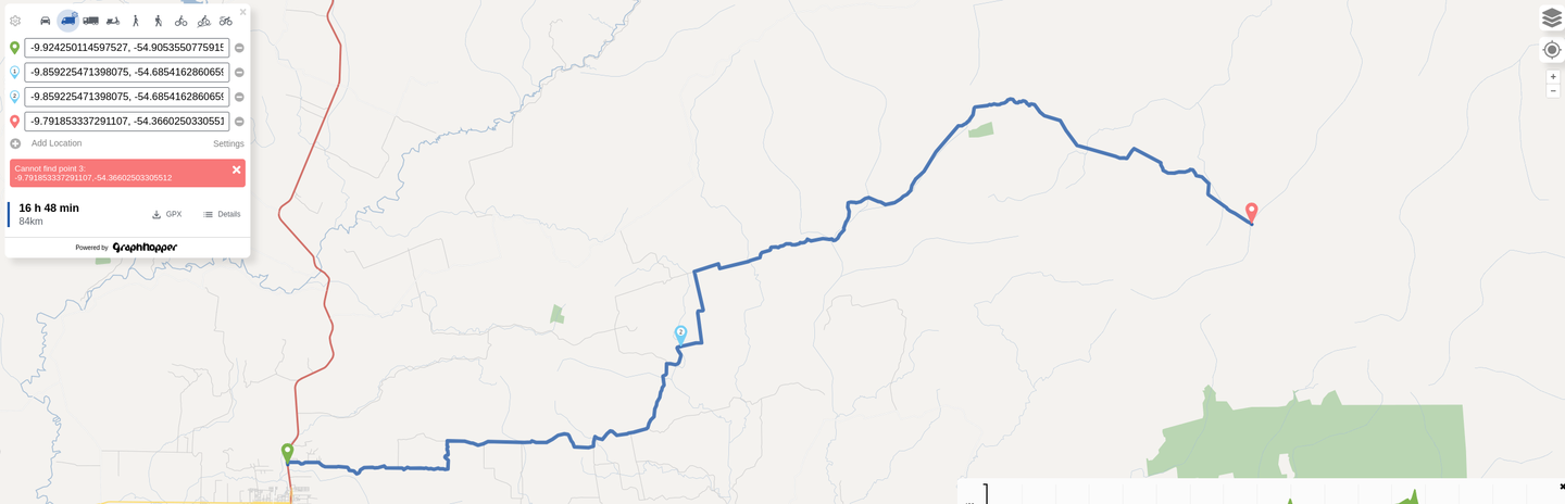
This way is still tagged as access=forestry and thus not accessible for cars: Way: 483403331 | OpenStreetMap
Did you expect such routes to be routable, or expect the route ends at the point where the non-forestry road ends instead of the error, or do you think this is a tagging mistake?
This bridge is still tagged as access=forestry so the roads behind it are not accessible: Way: 764517394 | OpenStreetMap
Surpassing the bridge is not possible either, because of the way tagged with access=forestry I mentioned above.
Esses ajustes foram feitos para permitir a navegação e facilitar o acesso e o tráfego, especialmente porque essas vias são muito usadas por veículos comerciais pesados.
Please make sure you stick to the OSM editing guidelines. If these roads are tagged as access=forestry for a reason (because they are only allowed to be driven on for forestry purposes) the routing profile rather than the map should be changed.