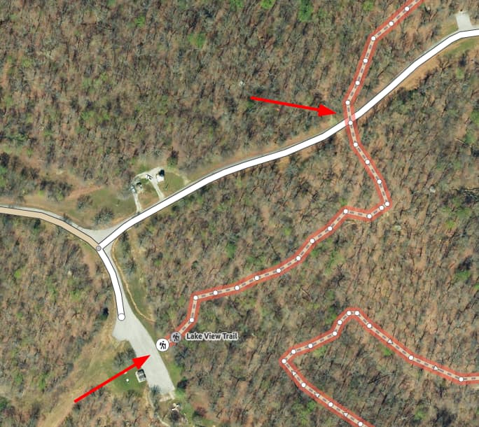
Someone has reported to us a path that doesn’t seem to be routable for some reason and we can’t work out why. We’ve had a look on the OpenStreetMap editor and it appears to have foot access. Any ideas? The path is called Allison Cemetery Trail. The following link shows the problem:
On GraphHopper Maps | Route Planner you can right click the map and choose ‘Query OSM’ which takes you to this part of the map on openstreetmap.org. Provided you have an account there you can switch to the edit view which opens iD where you can see the single road features in detail.