From the bugs that I had recently, I see that graphhopper does route between the stops in transfers. Because when there’s no OSM graph around any transfer, Graphhopper crashes completely.
Though, I have no idea why it’s not displayed in the frontend. Maybe there are options.
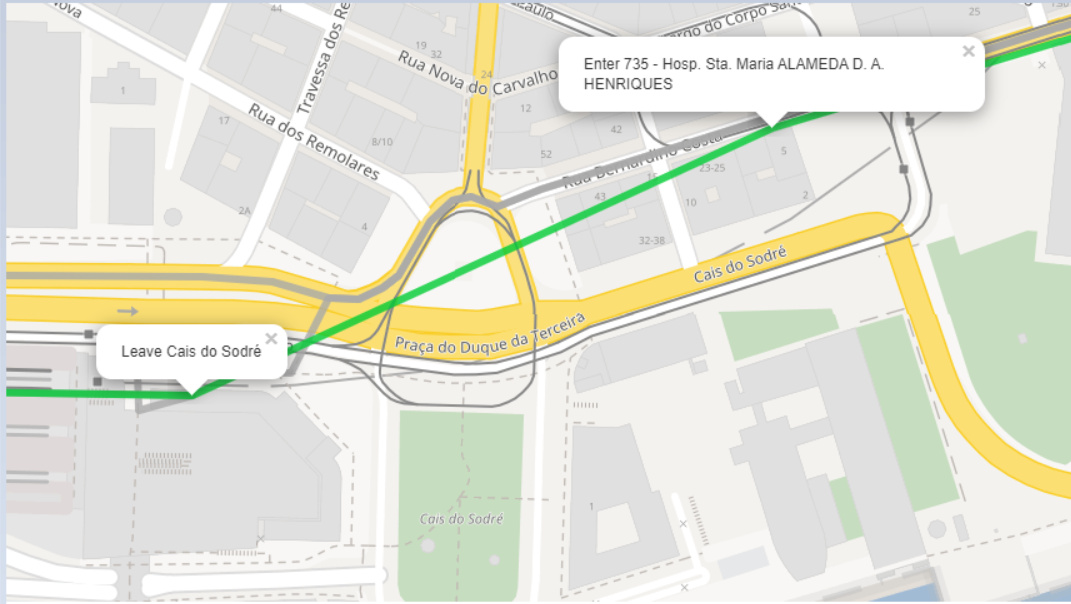
To add to the original problem, since the foot path is not calculated (I presume), Graphhopper assumes it is possible to exit the first transport and enter the second in less than 1 minute. That is clearly impossible in this particular case, as it would take atleast 4 minutes (according to Graphhopper foot routing) to walk that path.
This is causing a lot of problems in the project I’m working on. Where in the code would I be able to adjust the minimum time that a transfer should take?
Make a foot router with graphhopper and then take transfers.txt & stops.txt and make requests to get walking time between the stops, then save the result table as a new transfers.txt. In Python, that’s a page of code.
I investigated the problem further and actually managed to kind of fix it. The transfers.txt was fine, the problem was that Graphhopper didn’t use that information when calculating the routes. These threads on these forums and on GitHub are more detailed, you can check them out.