Hi I am new to Graphhopper and OpenStreetMap, I am trying to map a university campus and allow for foot routing.
I am having some problems with the routing. There are two roads in particular that refuse to be accessible via any of the GraphHopper routing. The one I am using as an example is called ‘Centreway’.
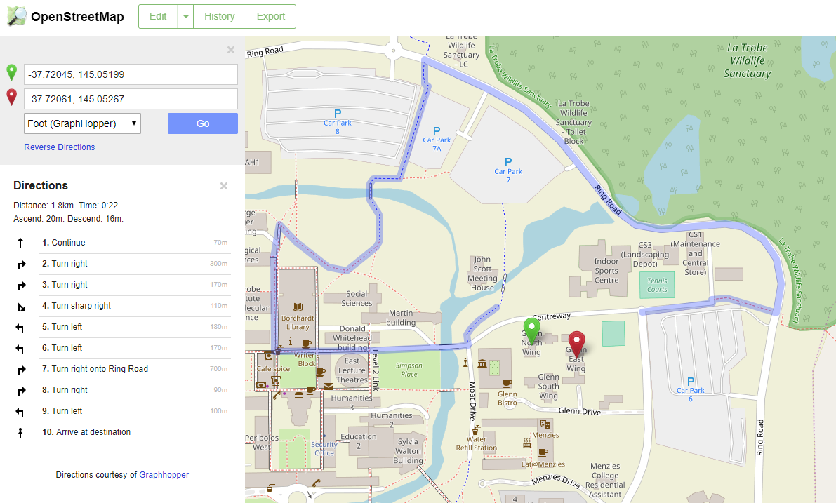
Via Foot
The Car (OSRM Routing) seems to work, however.
https://i.imgur.com/9Bgx2cm.png
I have set the Allowed Access for road as All: yes, Foot: yes
I have waited a few days because I thought it might take some time for the routing to be updated, but nothing seems to have changed.
Am I missing some settings/tags somewhere?
Any assistance would be appreciated.
Link to the general area is here:
https://www.openstreetmap.org/#map=18/-37.72042/145.05272