Ferry access (again?)

Just added the “duration” tag for https://www.openstreetmap.org/way/2373186 . Is it sufficient to get a successful routing by motor driven vehicles? Or should be the tag “vehicle” avoided at all, if no special restriction exists? And what’s about the tag in general? Is it deprecated to “motor_vehicle”? The docs for OSM only list the latter as a related tag for ferries.

Thank you for any hint!

I started a discussion about this on the OSM forum: https://forum.openstreetmap.org/viewtopic.php?pid=644080

We’d consider this ferry route as routable, due to the explicit vehicle=yes but as discussed (in the linked thread) it might be not required.

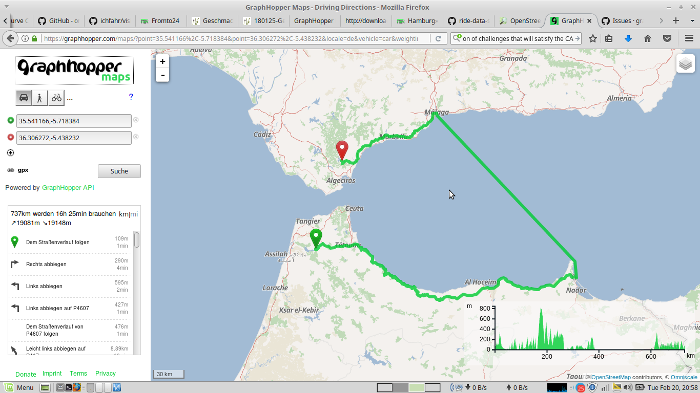
Thank you for reply! But the mentioned ferry is still not routeable for motorbikes and cars by graphhopper in opposite to OSRM. Confusingly I also didn’t find a gate that could act as a barrier. Even when I set a waypoint directly at the middle of the ferry line, it doesn’t work.

Hope it is not an OSM related bug and I’m only wasting your time…

It might be related due to a problem in our update mechanism (we’ll see in ~20h)

Hope it is not an OSM related bug and I’m only wasting your time…

No need to worry. We would like to solve this too

Made another scaring edit: https://www.openstreetmap.org/changeset/48669823#map=19/55.97063/-4.90864

Maybe your calculation is too restrictive or OSRM is too lazy. Of course it makes no sense to have a ferry line working only oneway. On the other hand, your routing don’t work in both directions.

Ups, tried it locally and this fails as the ferry does not support vehicle=yes at the moment, only motorcar and motor_vehicle which is ugly and we’ll fix: https://github.com/graphhopper/graphhopper/issues/1063

1 Like

You made it! Unfortunately I discovered the next bug, in this particular case completely deterministic, irrespective of the routing engine:

https://graphhopper.com/maps/?point=Ullapool%2C%20Vereinigtes%20Königreich&point=Stornoway%20Harbour%2C%20HS1%202DA%2C%20Steòrnabhagh%2C%20Vereinigtes%20Königreich&locale=de-DE&vehicle=car&weighting=fastest&elevation=true&use_miles=false&layer=OpenStreetMap

If the direction is inverted, the route takes the ferry. Any hint how to debug this mess in OSM?

There is a wrong one-way: http://www.openstreetmap.org/#map=19/58.20635/-6.38376

1 Like

Another similar(?) example

graphhopper does not consider the ferry routable by car

but osrm or graphhopper by foot/bike does work

There is a tag: motorcar: yes

Do there need to be additional tags added to that ferry way on OSM?
Or can graphhopper consider motorcar: yes to be routable by car?

here osrm for comparison

It seems to be a gate issue: https://graphhopper.com/maps/?point=35.789621%2C-5.805845&point=35.790108%2C-5.804644

This gate https://www.openstreetmap.org/node/3650916573 where we currently still assume motorcar:no as default