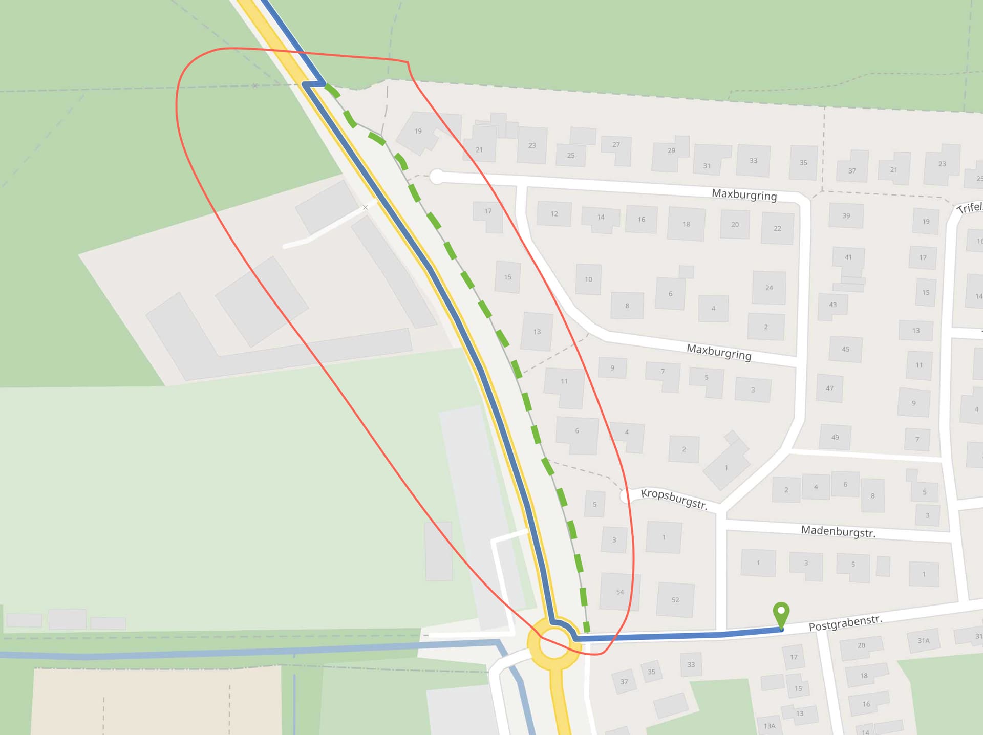
We see that in Germany many designated cycleways are not of the type “cycleway” but as “path” or “track” with a tag “bicycle:designated”. (i.e: Way: 52004103 | OpenStreetMap)
However we see that the directions API for both racingbike as bike does not seem to process the bicycle:designated correctly. However, it works perfectly for the type “cycleway”.
I think that the avoidance of highway=path with bicycle=designated and absence of the segragated tag for racingbike is correct.
But I agree that for highway=track with good surface we should prefer this one and don’t take a parallel secondary. In the meantime I found out that the provided original example is made of such a good example. I will investigate this in detail.
The reason in the original example with racebike is that we are assuming 20km/h speed for the highway=secondary and also 20km/h for the highway=track with the tracktype=grade1. This is OK,
I only found out that if there is no tracktype=grade1 but the surface tag still present that we would determine a lower speed. This needs to be improved.
The priority classification with “PREFER” is currently also the same. Here we need to classify good tracks with bike designation better.
@ratrun@karussell Is it possible to use country rules to prefer CYCLEWAYS more than all other roads? At least in Poland, cyclists are obliged by law to use cycleways even if they have poor surface
@ratrun@karussell Is it possible to use country rules to prefer CYCLEWAYS more than all other roads? At least in Poland, cyclists are obliged by law to use cycleways even if they have poor surface
Via the java based car-centric CountryRule this currently does not seem possible. But I think that it will become possible when #3004 gets merged. @karussell please confirm.
I think it could be great if bicycle tag become an encoded_value.
This could be very helpfull in custom models to check the value designated and to boost or avoid it in some ways.