I have a route calculting problem, that is to say: GraphHopper is offering a wrong route between to specific points.
When i want to calculate a route from 46.63746,8.60062 to 46.66015,8.71820, which is the Oberalp pass in Switzerland, GraphHopper is coming up with a wrong result. Have a look at the first image.
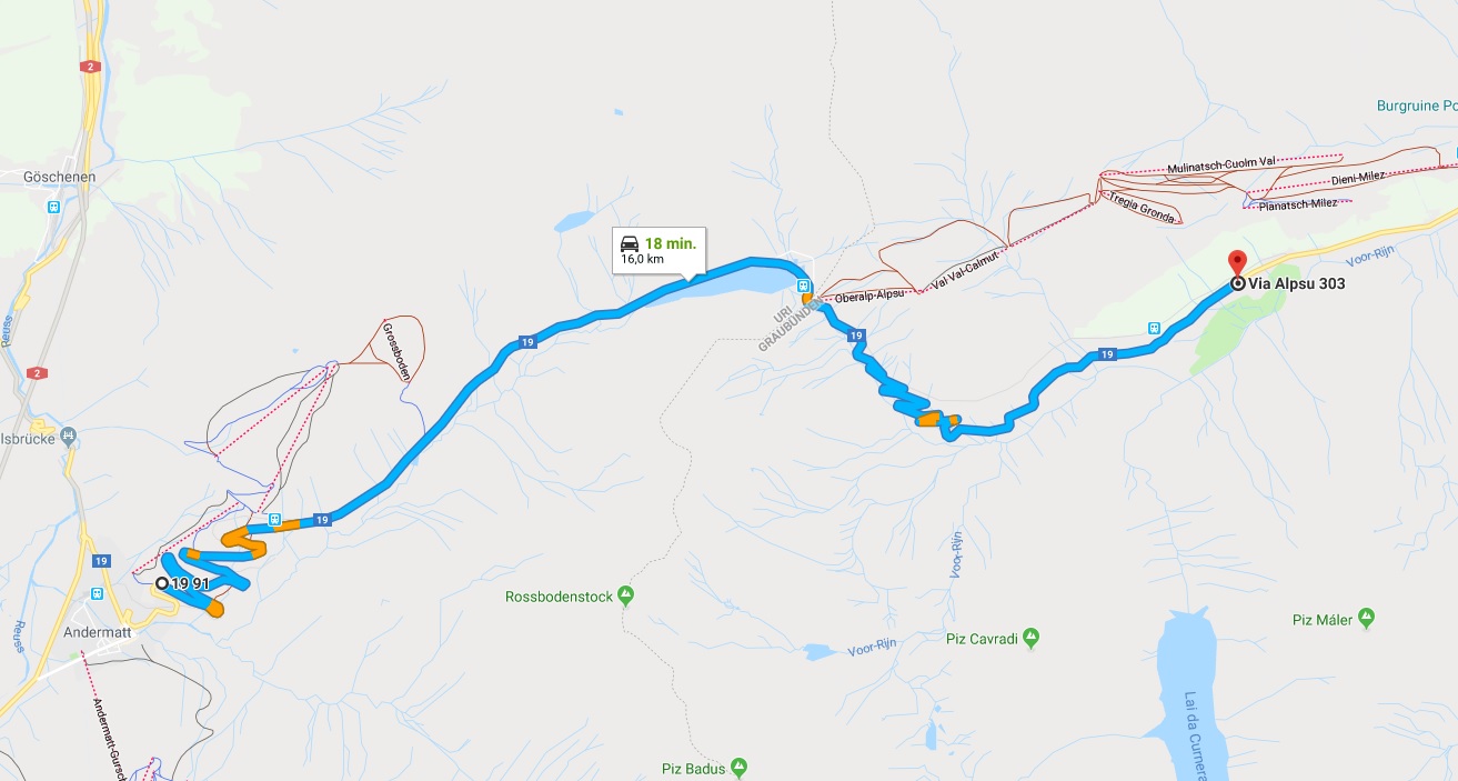
I have added another image which offers the proper route (calculated using Google Maps).
Somewhere on the road there is a point that cannot be taken into account, when a route is calculated, and I don’t understand why.!
Is this a known problem? Is there anything I can do make GraphHopper to come up with the proper results? Or is it a GraphHopper problem?