I have a GraphHopper server running on my machine using the isochrone_open_source branch. I am using OSM data from geofabrik.
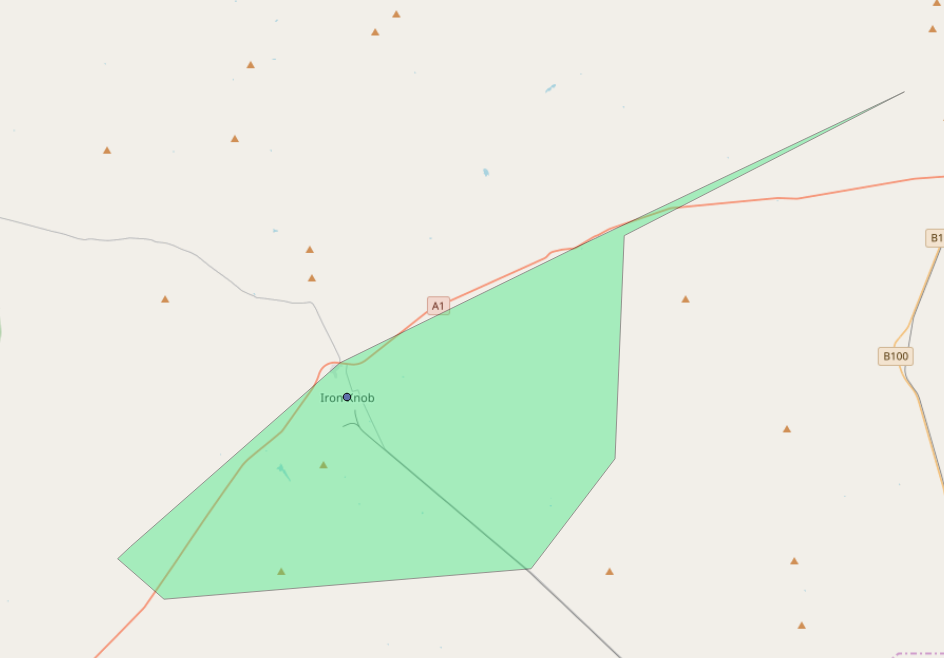
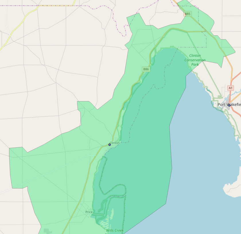
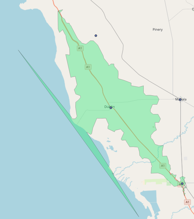
Some of the isochrones have spikes that are not aligned to roads or parts going out over the ocean.
Any ideas what the cause is? Is this something I can fix by tuning GraphHopper?
Some examples of the output:
boldtrn
February 9, 2018, 12:55am
2
Do these spikes occur for the Directions API as well?
It is a known limitation of the current implementation. A workaround is to explore a larger area.
Martijn
February 11, 2018, 11:43pm
4
I see, thanks! How do I explore a larger area (while still getting the same isochrones)?
Martijn
February 12, 2018, 5:05am
5
I don’t have access to the Directions API to test.
boldtrn
February 12, 2018, 5:35am
6
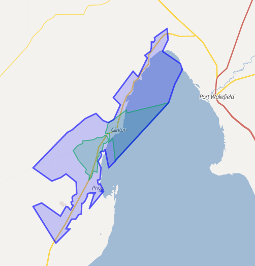
You can always have a look at the live samples .
Martijn
February 12, 2018, 5:51am
7
Looks like fairly similar output from the live sample. I am using remote areas with sparse road networks. May be a bit harder for the algorithm to deal with?
(Clinton, South Australia)