Hello,
Im using you GraphHopper MM project to match some travels to a road
network in Denmark.
I’ve been founding something that i find weird to happen, maybe someone can
tell me why it happens, in order for me to improve it.
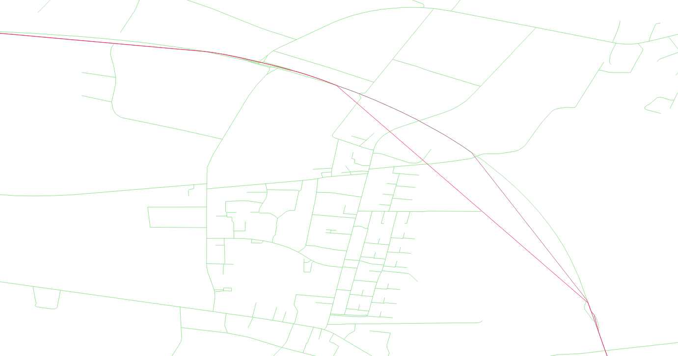
The matching in curve roads rarely happen, making the waypoints go from
the start of the road (normally intersections) to the other end (image below). Is there a reason for this to happen most of the times?
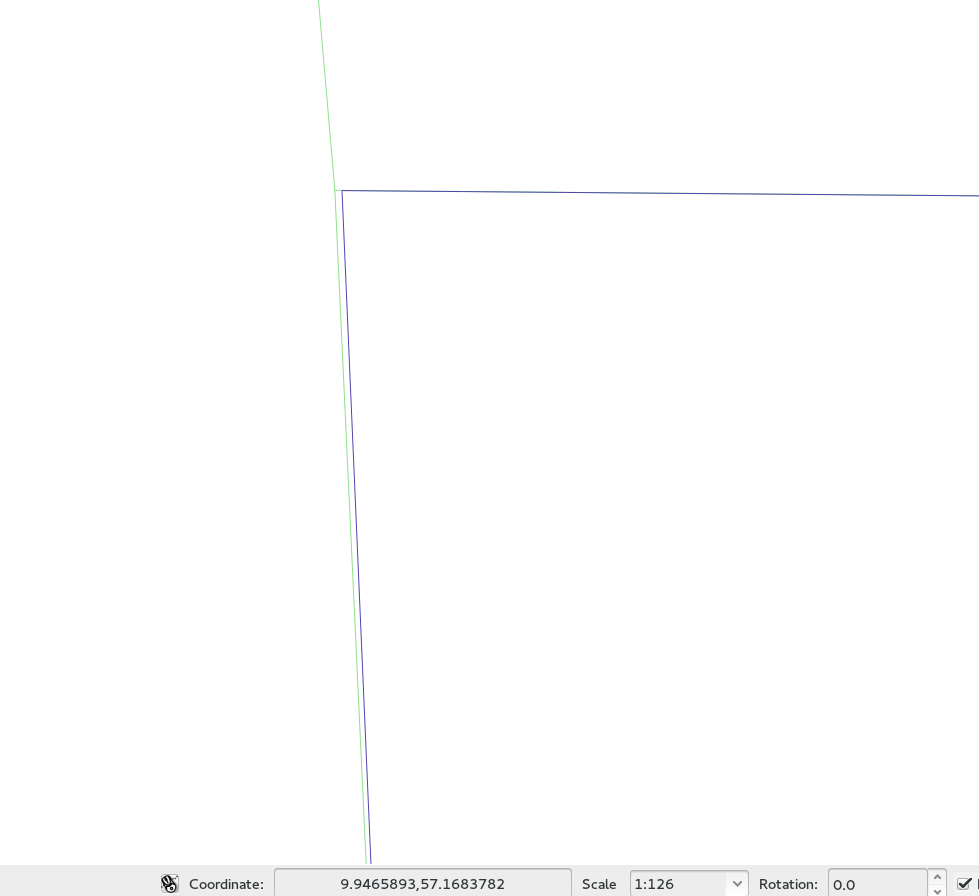
Other thing i realized is that some matching points does not really positioned in road segments. this “problem” is not really critical, but maybe is worth be mentioned.
The sofftware im using to vidualize roads and targets is QGIS
With the best regards,
José Luís Semedo
Image for the second “problem”
This does not look good. Can you post the gpx and area you are using?
After verifying my gpx samples, i found the error.
From the matching proccess, im exporting two files: on with the mathing results, and other with the gpx points snapped to the road network. I save the snapped points so i can be able to later analize the cars movements in traffic and to keep the datetime of each point.
My error was storing the snapped points as the targets, instead of the matching result that GH returns by default. The line string of the snapped points gave those weird tranjectories, since sometimes there is a gap distance between points.
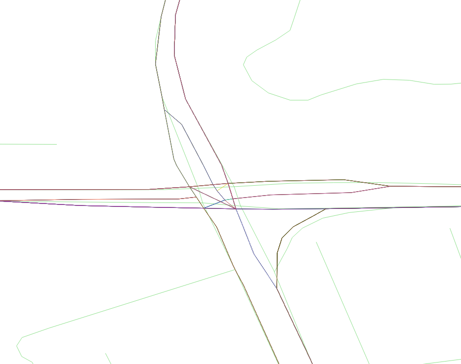
After some corrections, i verified that the curve matching is way better than before, but still it seems to exist some matches that really does not overlap the roads.
In green is the road network.
Maybe GH is using data from the shapefiles that is not shown in QGIS.
Note that this happens in a very few cases.
With my best regards,
José Luís Semedo
Please make sure that you are using (an up-to-date) OSM layer as the underlying network